Big Bend National Park is bigger than the state of Rhode Island, four times the size of New York City and 20 times Washington DC. The seventh largest National Park in the lower 48, it has five visitor centers, 53 marked hikes and 10 backcountry roads through the Rio Grande river, Chihuahuan desert and Chisos mountains. It even has its own border crossing into Mexico. It is the biggest National Park of which you’ve never heard. No interstate runs through it. No major city is near it. In all likelihood, we will never come this way again. So how do you tackle 800,000 acres in 10 days? One adventure at a time.
Two of the five developed campgrounds are closed for April, so we are staying 7 nights in the southeast corner at the full hook up Rio Grande Village RV Park (the village) and 4 nights in the southwest corner at Cottonwood Campground – dry camping and no generators allowed. April starts the summer season where daytime temps hit triple digits and nighttime temps vary by location. So our plan is to sunrise and sunset, that is, do hard early and do medium/easy late. Hide from the harsh desert in between.
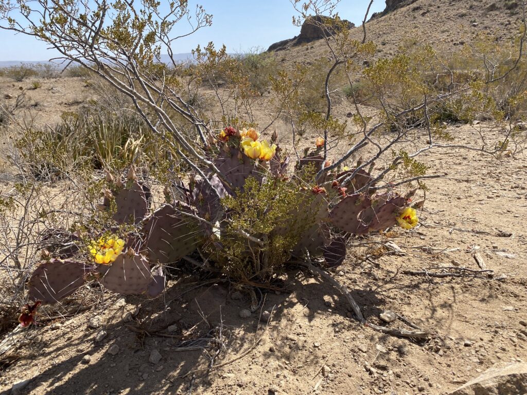
Giddy for our first day of touring, we coffee’d at sunrise, breakfasted at 8 and left Roxie at 9 for a hike and bike. So much for the sunrise plan. The Village is remote. Every outing includes 40 miles – 20 to get to an intersection with access to other parts of the park, and 20 to get back. We rolled into to Panther Junction to fill up with $4.15 gas, a remarkably close to market price number. We had forgotten what a gem the National Park system is. We are hundreds of miles from civilization, but everything we need is here from fresh water to fuel, Blue Bunny to beer. The Rangers are methodically returning the roads, signs, and trails to pre-shutdown high standards. The parks are our country’s Crown Jewels.
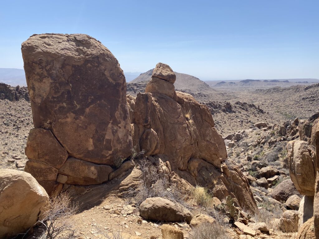
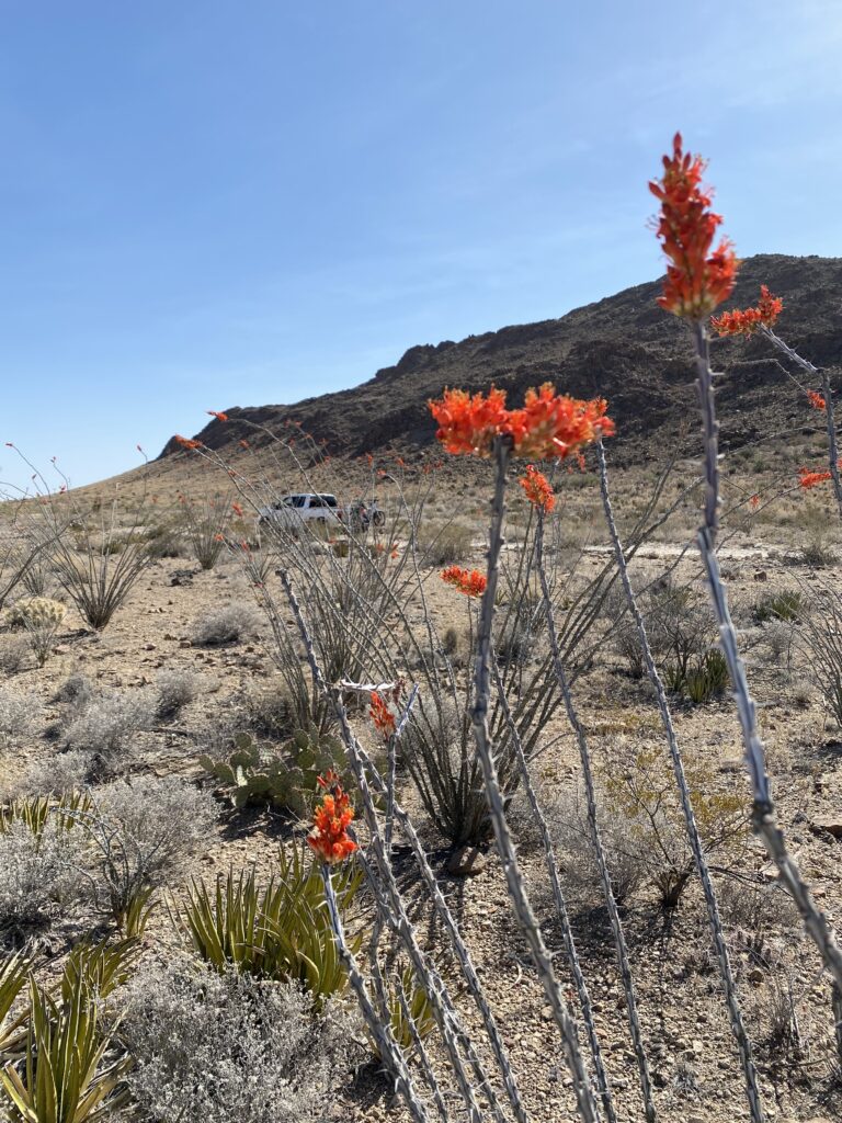
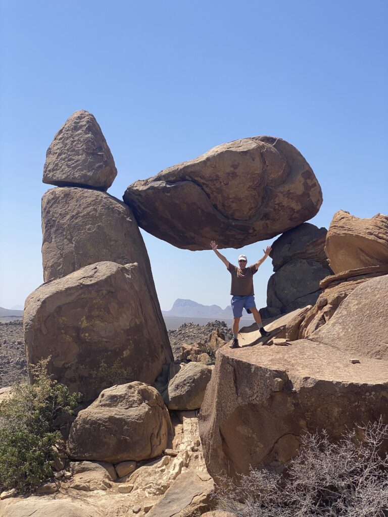
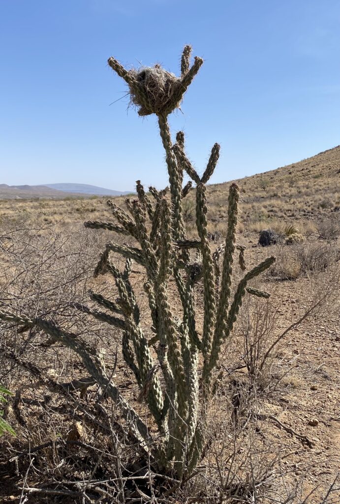
Our first target – Grapevine Hills for a round trip 14 mile high clearance 4×4 ride and 2 mile hike to Balanced Rock. Grapevine Hills was a no joke bumpy slow ride that gave us an hour to ogle Octillos and Prickly Pears and other weird looking desert cacti opening to an outcropping of red rock formations. It felt like Zion’s Patriarchs merged with Bryce Canyon hoodoos and a straight up rock scramble to an Arches reveal at the end. Were we really in Texas, cause it sure looks like Utah. There is a reason for that, explained in wonderful at the Dinosaur and Fossil Museum.
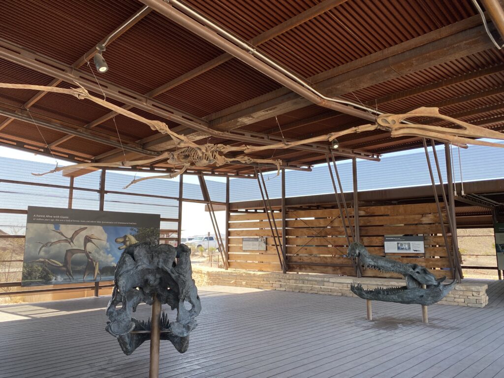
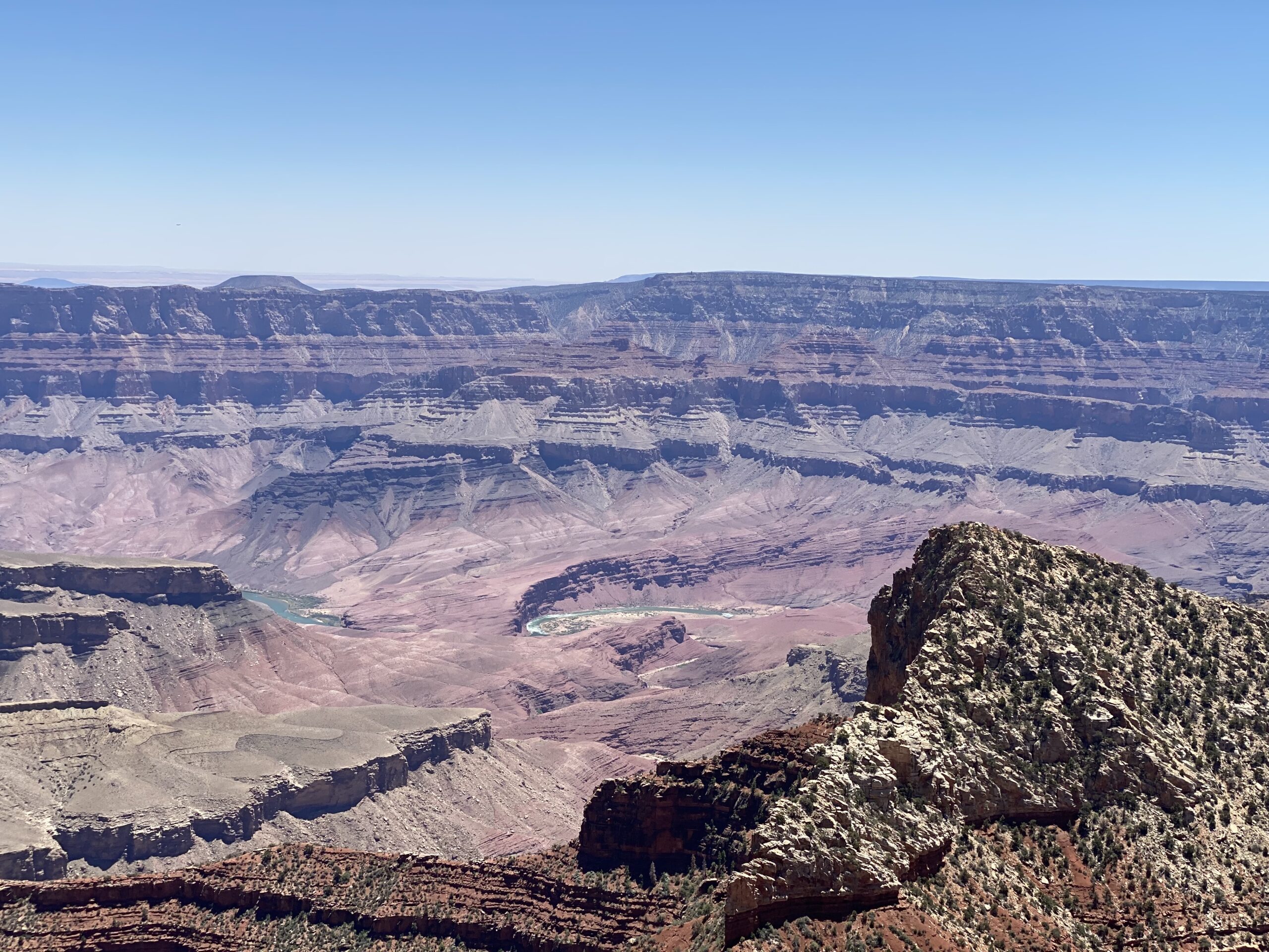
Around a hundred million years ago a great inland ocean covered the part of the United States that we love so much. Stretching from the scablands of eastern Washington, through the Big Five of Utah, and down into the remote Big Bend region, it is all part of the same geological structure. Once the domain of sea crustaceans, then dinosaurs, and finally sapiens, it forces a perspective of time and place that our brain can barely comprehend.
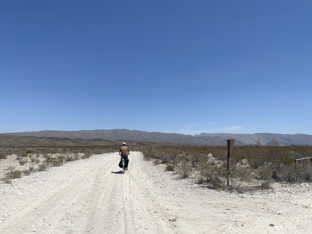
The volunteer ranger at the Persimmon Gap Visitor Center loves to bike Dagger Flats Road to see the giant dagger yucca plants that create a huge white bloom. After the Grapevine Hills drive, we should have known better than to tackle a 16 mile round trip high clearance 4×4 ride on the Comos. But hey, it’s the middle of the day when the sun is strong and we were feeling jazzed about our performance in the first event.
Eric’s been nursing a torn muscle in the left rib area that never healed because of 5 hours of pickleball a day and Sheri spent the past five months in physical therapy, massage therapy and hot yoga trying to fix a lower back and knee problem caused by an overenthusiastic idea that running stadiums was a bonafide way to get in better shape. Like many quinquagenarians we are still 25 in our heads. Why don’t bodies align with thinking?
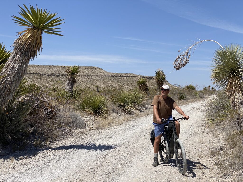
Dagger Flats just sounds like a place you want to go. Ride the Comos 8 miles into the desert to see a grove of 30 foot yuccas with 70 pound flower clusters shooting out the top. Along the way discover washboard segments that rattle your teeth and compress your spine. Stone fragment passages that fishtail tires and deep sand sections that wobble and swallow if you dare to go slow. If you’re going to bike Dagger Flats, come prepared with fat tires, spare tires, dust masks, and experienced trail riding.
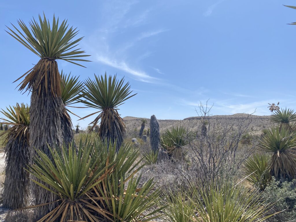
About half way in we’d not seen any blooming yuccas, but the payoff is at the end of the road so we kept fighting our way through the shadeless desert until they began to appear. 1, 10, 50, hundreds of yuccas, dead and decaying. No flowers, no portrait setting photo opportunity. Instead, ugly. Ew. Flies and other buzzing creatures. A creepy scary place where you might sink into yucca muck to become one.
The exotic plant life felt alien. Some actually look like aliens attempting to pluck a rider off the road. Deep in the desert flats, not a sound could be heard except the wind through the landscape. Ancient towering ridge lines that had risen during the birth of the Rocky Mountains looked out over us. We were able to experience what the park terms “sublime solitude.”
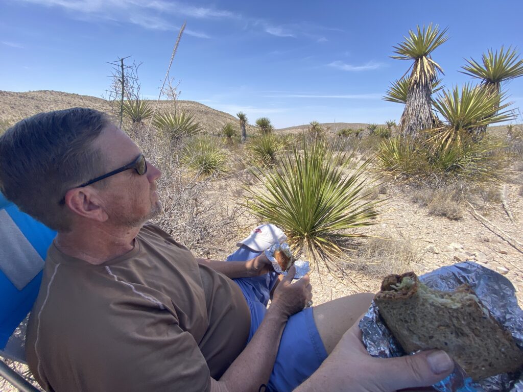
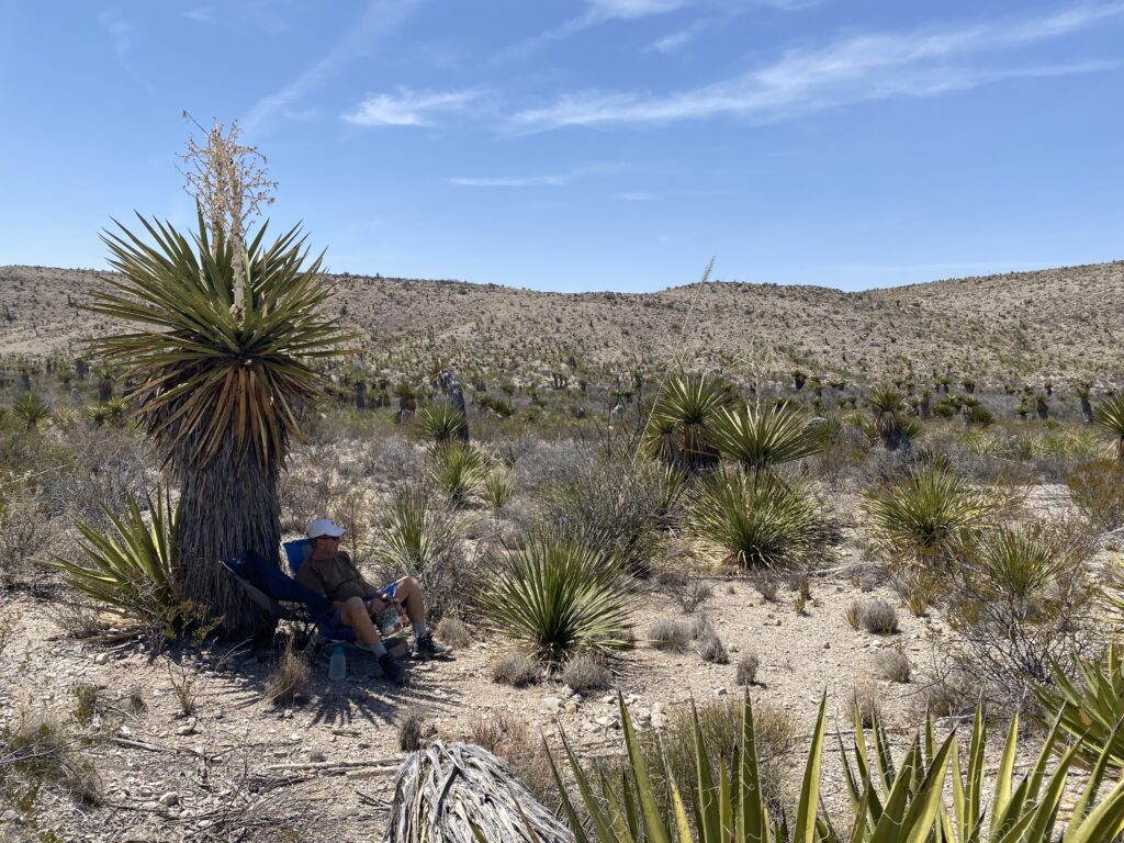
Eric found a patch of shade among the towering daggers. The sun hit triple digits. We set up chairs and ate tuna fish sandwiches. Eric napped while Sheri kept lookout. A few lizards and flies came by to investigate a possible food source. No other form of human life dared enter. The blooming Yuccas continued their inevitable decay back into the Chihuahuan Desert wondering if we would join them. We weighed their proposal against the hour off-road dust ride return. Maybe the septuagenarian volunteer ranger loved the “idea” of biking dagger flats and we missed the operative word. Maybe she’s an alien sent to lure middle aged tourists out into the desert.
