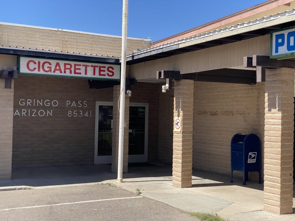
Sheri was craving a Diet Coke and Eric wanted a beer so we drove 5 miles to the Lukeville Gasmart, also known as Gringo Pass. While cars lined up to enter Mexico, we got $15 of $4.39 gas, beverages other than water to drink and a good look at one of our “big beautiful” Southern Border Walls.
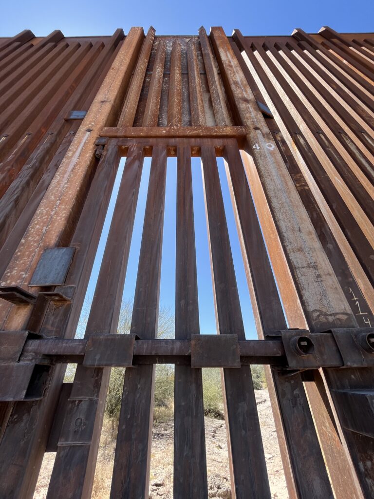
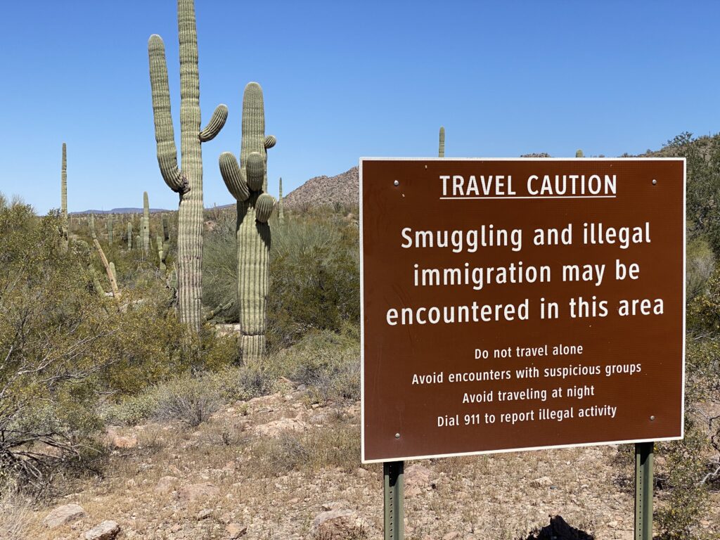
Organ Pipe National Monument borders Mexico. Warned of smugglers and illegal immigration, we dirt rode the wall for 14 miles on South Puerto Blanco drive, discussing the pros and cons of iron bars shorter than many Saguaros as an effective method to curb immigration. We’ve spent tourist time on the borders of the Rio Grande in Texas, Friendship Park in San Diego and now on the backroads of the Sonoran desert. We didn’t see any evidence of activity, but they could have been posing as ancient cactus.
It’s a rough cut along SPB Drive, cake for the Superduty and liver for the Kia Sorrento in front of us. Stopping for pictures of the wall, artsy pictures of the wall, selfies at the wall and Mexico through the wall, we came to the proverbial fork in the road. Sheri read the description of the road ahead – 15.5 miles on Pozo Nuevo Road, but only if you are a high clearance vehicle with all terrain tires. Or we could turn around and go back 14 miles the way we came. Feeling newly recovered after a nights sleep in 40 degree weather, Eric opted for Pozo Nuevo, without getting out of the truck and reading the map. Hint to new off-road drivers: Always read the map.
Eric and Boss road Pozo Nuevo well, stopping for wildflowers, spooky abandoned attractions and talks with Saguaros until we came to another fork in the road. This time Eric got out and read the map. Either the “You Are Here” arrow was misplaced, or we had just driven 38 miles in the completely wrong direction with no hope of recovering other than going back the way we came. There was one other option not on the map. Quite literally, keep driving north off of the map and see what happens. Sheri abstained cause she wasn’t driving and Eric, feeling new and slightly less well than before reading the map, took the road less travelled, and also unmapped.
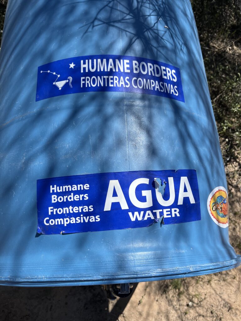
The road less travelled was graded for 15 miles or so until we came to another fork in the road. Keep going north in the general direction of the closest town shown on the Rand McNally map of the United States we dug out of the glove box, OR we could take the dirt road with the unlocked gate that says “Authorized Use Only” that could potentially cut the corner saving 40+ miles. Plus, People for a Humane Border had left 50 gallon drums of water marked with blue flags in the desert for the “smugglers and illegal immigrants” that we could tap in to if things really fell apart.
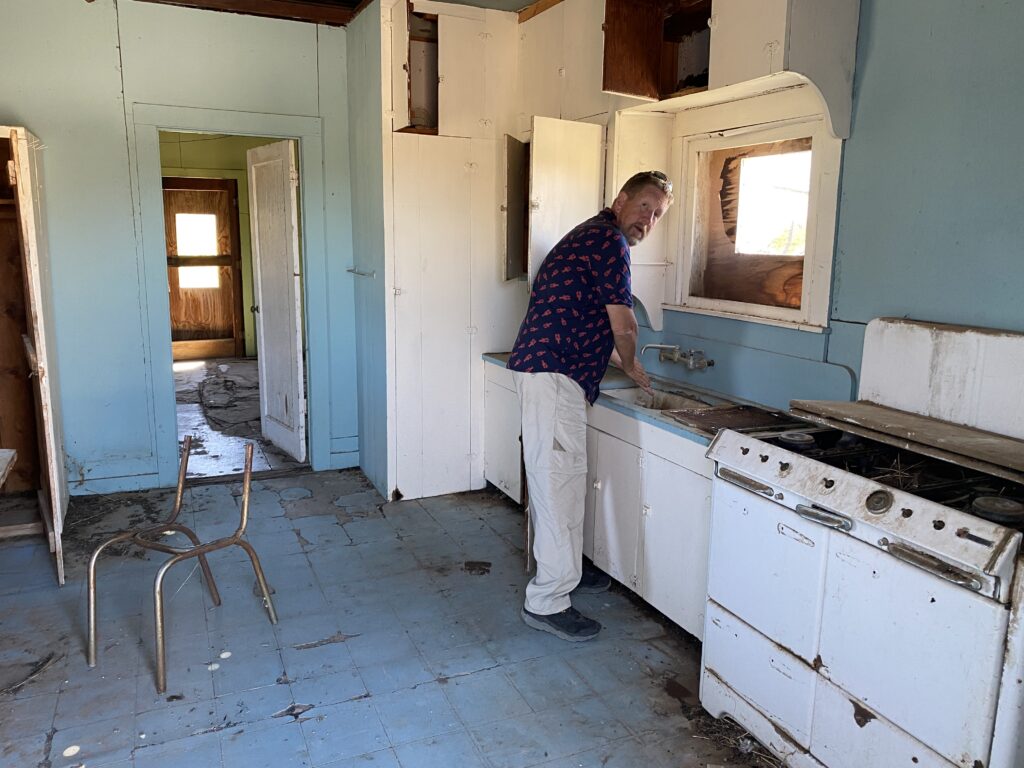
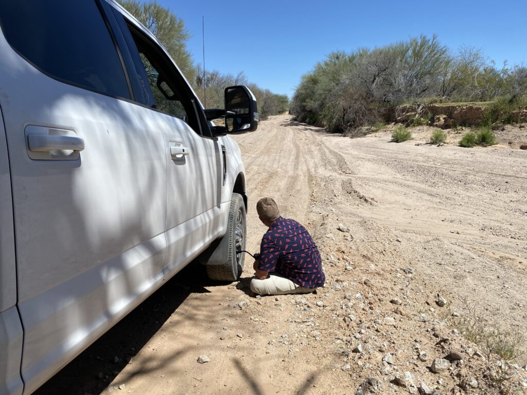
We agreed to cut the corner and decided we’d say that we were lost (Sheri) if anyone ever found us. At that point Eric came to a hard brake stop before hitting deep sand. A job for the Rapid Inflation/Deflation Kit we bought at the Overlanding Expo last year! Eric took the tires down to 30 psi and hit the gas while Sheri buckled in and hung on. We wish we had video. Boss fishtailed his way through a wash while Eric kept him from smashing the stone jersey walls. It is a well known fact that the worst thing you can do in deep sand is come to stop. It was one sandy pit after another with tight turns, clunky rock and patches of smooth sailing for 8 miles. The cut paid off. Jimmy must have left the No Unauthorized Vehicles gate unlocked for us so Eric didn’t have to break out his lock busting tools. We landed on SR 85, 15 miles to the Visitor Center.
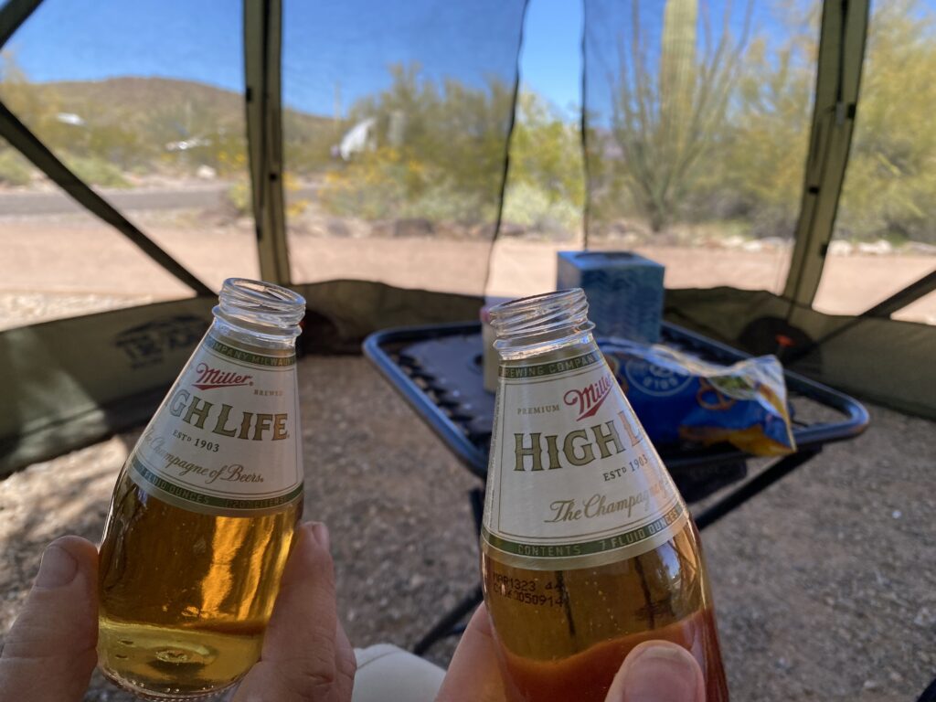
On a day we’d planned to do nothing, a craving for a Diet Coke and a Miller High Life saved the day. If you have never had an ice cold Miller High Life in a teeny tiny 7 oz bottle after getting lost in the Sonoran Desert on the border of Mexico, you would definitely want to celebrate with the Champagne of Beers.
